Living in Caracas
Caracas is a city of areas: a valley that runs west to east, split between the Capital District and four municipalities of Miranda, each with a character of its own. From the historic center in Libertador to the shops of Chacao, from the families of Baruta to the hills of El Hatillo and the parks of Sucre. This guide helps you pick yours.
- homes listed
- 12,037
- year founded
- 1567
- municipalities in two states
- 5
- altitude of the valley
- 870–1,043 m
The essentials
A mountain backdrop
A 2,765 m mountain stands between the city and the sea, and a cable car from 1955 lifts you past 2,000 m in about 15 minutes.
A valley from west to east
The city stretches along the Guaire river valley, from Las Adjuntas in the west to Petare in the east. Where you live on that axis shapes your commute.
One line across it all
Metro Line 1 runs across the city from west to east, from Propatria to Palo Verde, and the Metrocable and Cabletrén link it to San Agustín, Filas de Mariches and Petare.
What it costs
Half of the houses for sale are listed between US$310,000 and US$880,000.
Areas of Caracas
Picking the area matters as much as picking the home. Start with what you are after, compare prices and step into the neighborhoods.
What a property costs in each area
Median asking price of properties for sale (houses, apartments, land, commercial and more), from the listings on Suelo today.
- ChacaoUS$650,000
- BarutaUS$430,000
- El HatilloUS$366,190
- SucreUS$280,000
- LibertadorUS$225,000
Chacao
MirandaFor those who want shops, offices and squares within a short walk.
The smallest municipality in Caracas, a little under 13 km², with a service economy: malls, financial headquarters and hotels, and a high share of green space.
- properties for sale
- 1,066
- median asking price
- US$650,000
Read the Chacao guideNeighborhoods
Baruta
MirandaFor families after a residential area with the Las Mercedes shops close by.
Residential, home to many middle- and upper-middle-class professional families, and offices: the Las Mercedes business district and neighborhoods such as El Cafetal and La Trinidad.
- properties for sale
- 2,758
- median asking price
- US$430,000
See apartments for sale in BarutaNeighborhoods
El Hatillo
MirandaFor those who prefer the hills, more room and a colonial town at hand.
Hilly and mostly residential, around a town whose colonial center is a national heritage site. Neighborhoods such as La Lagunita, La Boyera and Los Naranjos.
- properties for sale
- 1,552
- median asking price
- US$366,190
See apartments for sale in El HatilloNeighborhoods
Sucre
MirandaFor those who want Parque del Este or Los Chorros close by.
The most populous of the four Miranda municipalities of Caracas, with Petare as its seat. Home to Parque del Este, Los Chorros and neighborhoods such as Los Dos Caminos, La Urbina and Sebucán.
- properties for sale
- 1,350
- median asking price
- US$280,000
See apartments for sale in SucreNeighborhoods
Libertador
Capital DistrictFor those who want the university, the museums and the Bellas Artes theaters nearby.
The west and center of the city: the historic center, the Central University and 22 parishes, from San Bernardino and Los Chaguaramos to Catia and El Junquito.
- properties for sale
- 2,014
- median asking price
- US$225,000
See apartments for sale in LibertadorNeighborhoods
Climate in Caracas
Thanks to its altitude, Caracas is mild all year. January to April is dry; June to December brings over 100 mm of rain a month. In December and January comes the "Pacheco": fog and cooler nights.
- average temperature
- 23.4 °C
- of rain a year
- 1,104 mm
| mm | Mean °C | Low and high °C | |
|---|---|---|---|
| Jan | 56.1 | 21.7 | 17.3–27.1 |
| Feb | 42.5 | 22.1 | 17.7–27.6 |
| Mar | 20.7 | 23.1 | 18.5–28.6 |
| Apr | 48.1 | 24.1 | 20–29.3 |
| May | 70.2 | 24.5 | 21.2–29.4 |
| Jun | 112.6 | 24.1 | 21–28.5 |
| Jul | 121.1 | 23.5 | 20.5–28 |
| Aug | 132.7 | 23.7 | 20.8–28.3 |
| Sep | 118.4 | 24.3 | 20.9–28.8 |
| Oct | 144.3 | 24.1 | 20.8–28.6 |
| Nov | 130 | 23.5 | 20.3–28.1 |
| Dec | 107.4 | 22.3 | 18.6–27.1 |
Caracas-La Carlota station, 1991–2020 normals.
Things to do in Caracas
2,765 m
Pico Naiguatá
El Ávila National Park (Waraira Repano)
NatureThe mountain that frames the city. A national park since the decree of December 12, 1958, officially named Waraira Repano since 2011.
15 min
from 1,000 to 2,100 m
Caracas cable car (Warairarepano)
OutingAbout 3.5 km of gondola, opened in 1955. Check its operating status and hours before you go.
82 ha
opened in 1961
Parque del Este (Generalísimo Francisco de Miranda)
NatureDesigned by Roberto Burle Marx with Fernando Tábora and John Stoddart, in the Sucre municipality. It has a zoo, the Humboldt Planetarium, a lake and forest trails.
1971
year created
Los Chorros Park
NatureA walk along the Tócome river, which rises on El Ávila, up to its waterfalls, in the Sucre municipality. One of the most visited parks in the city.
1945
year it opened
Plaza Francia (Plaza Altamira)
HistoryThe square of Altamira, in Chacao, with its fountain and an obelisk that was once the tallest structure in the city. A National Historic Monument.
21.8 ha
opened in 1920
Los Caobos Park
NatureA grove of old mahogany trees with Ernesto Maragall's Fuente Venezuela, beside the Museum of Fine Arts, the Science Museum and the National Art Gallery.
2,400
seats in the Ríos Reyna hall
Teresa Carreño Theater
CultureThe country's main theater, in the Bellas Artes cultural district, with concerts, opera, ballet and plays. The full complex opened in 1983.
1784
first stone of its church
El Hatillo town
HistoryThe seat of the El Hatillo municipality, with a colonial center that is a national heritage site.
- Cable car station
- 1,000 m
- Cable car summit
- 2,100 m
- Pico Naiguatá
- 2,765 m
- Caribbean Sea
- 0 m
Homes in Caracas
houses for sale
2,008 houses for sale, median US$490,000
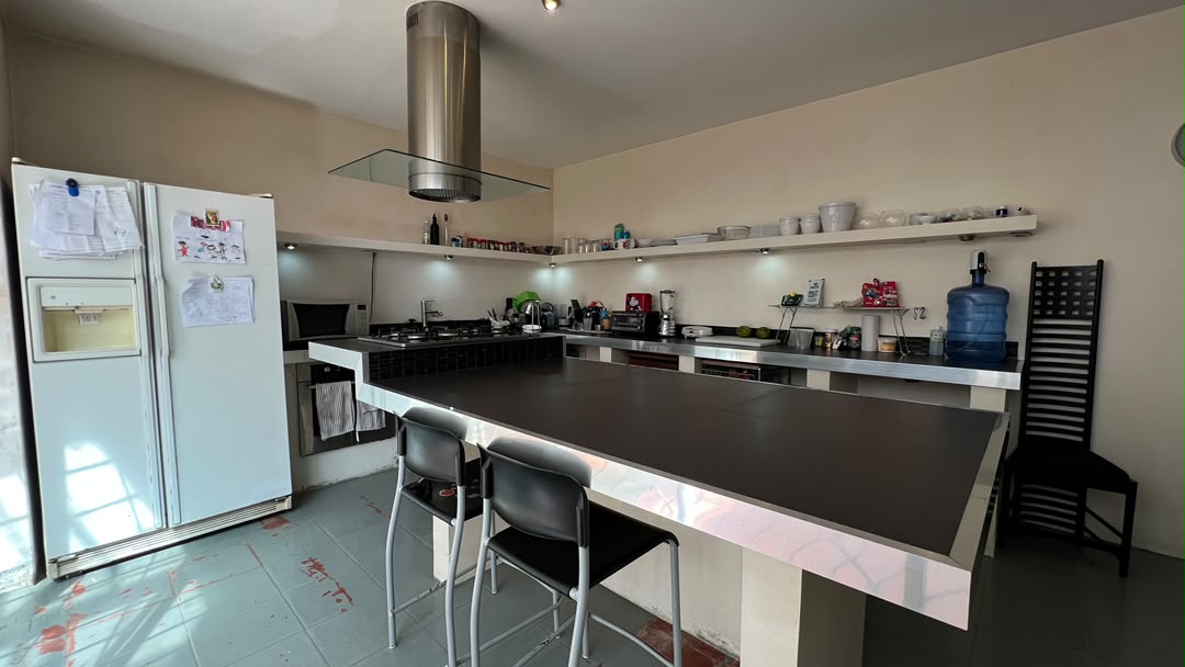
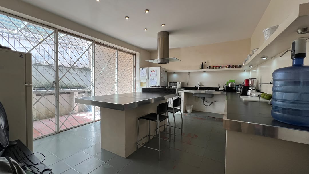
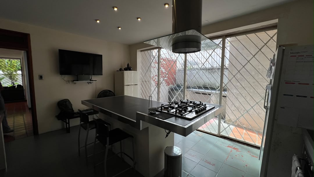
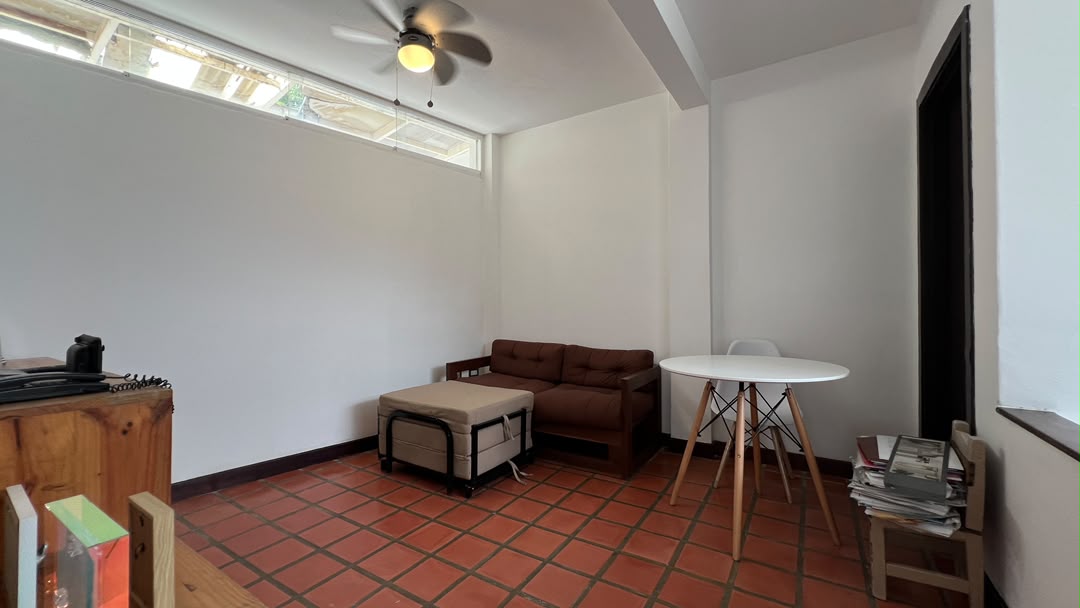
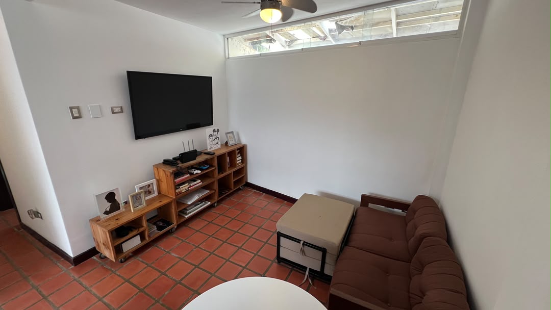
$250,000
5 bed | 4 bath | 300 m² | 2 park. | House for sale
Colinas de Bello Monte, Caracas, MI
Listed by: Pedro Mejia
Abitu#10585907


$307,000
7 bed | 7 bath | 420 m² | 3 park. | House for sale
Alto Prado, Caracas, MI
MLSCaracas#10574410


$260,000
14 bath | 248 m² | House for sale
El Cementerio, Caracas, DC
Omni MLS#VE261268876apartments for sale
3,480 apartments for sale, median US$280,000


$1,564,000
4 bed | 2 bath | 340 m² | 2 park. | Apartment for sale
Valle Arriba, Caracas, MI
Listed by: Inmuebles Araguaney
Suelo MLS#SUE-bf01cdfd-f13e-4b46-b7d7-7930751464e3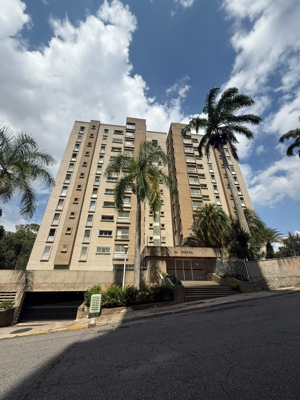
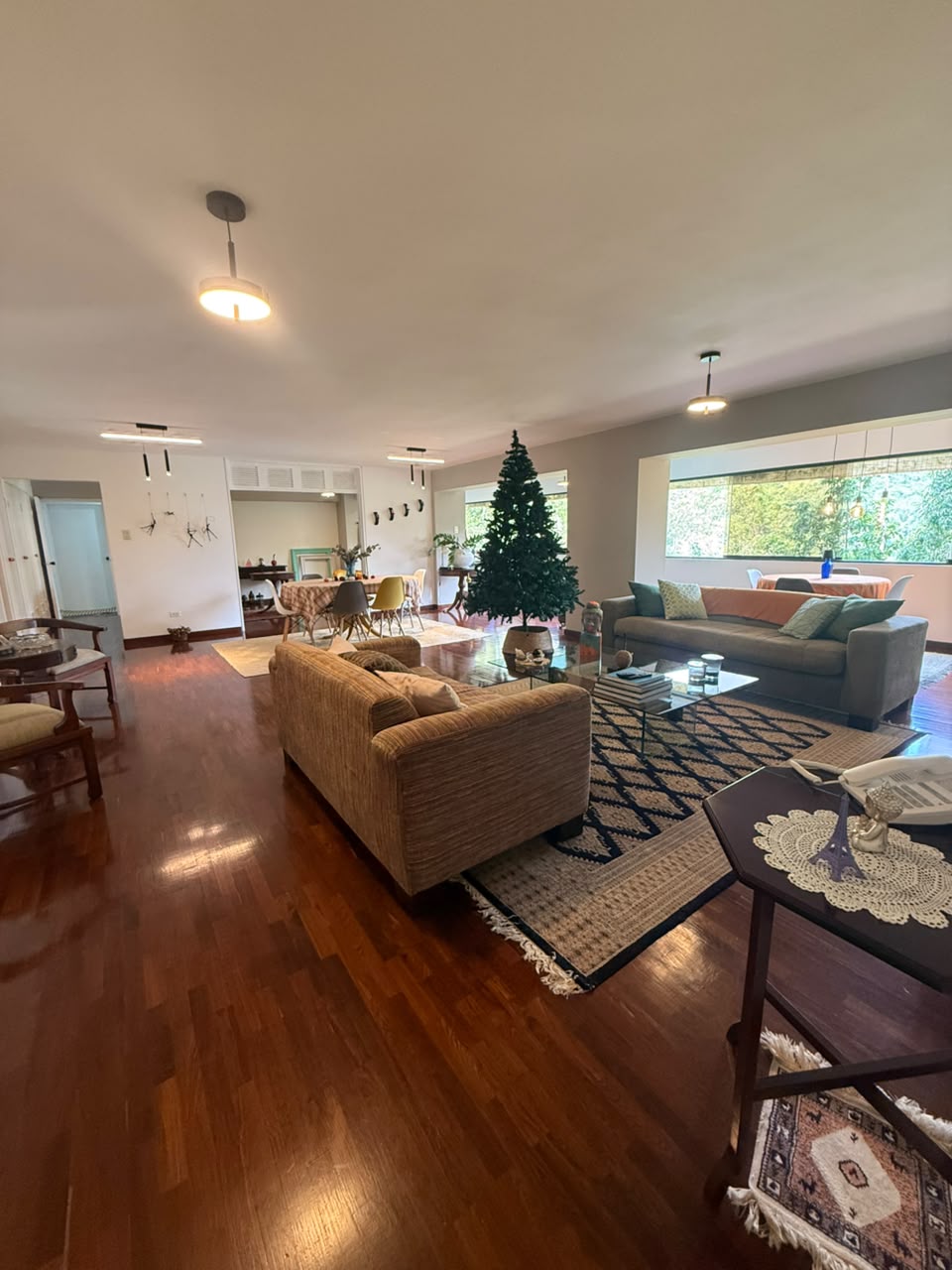
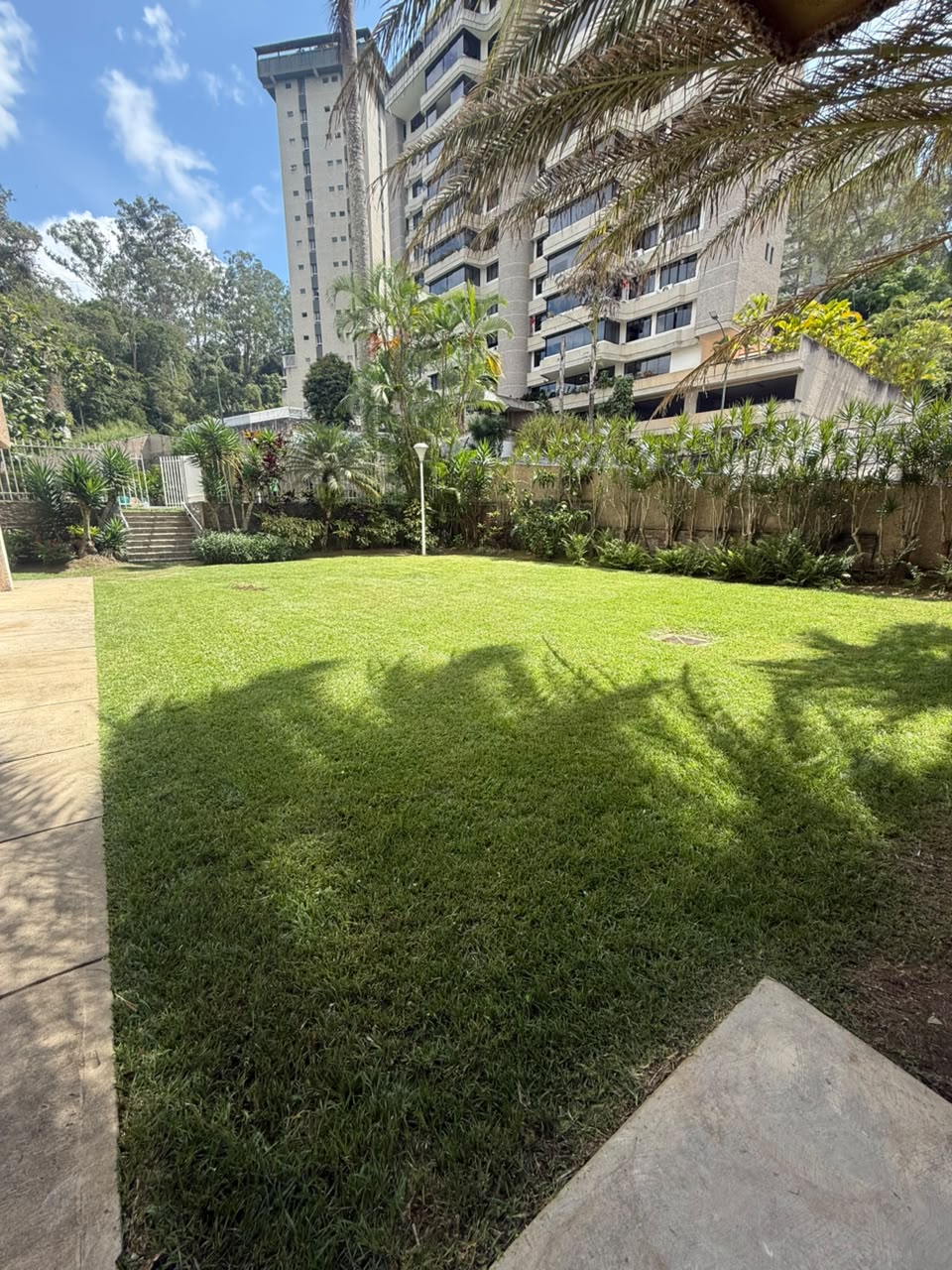
$200,000
4 bed | 3 bath | 238 m² | 2 park. | Apartment for sale
Los Naranjos del Cafetal, Caracas, MI
Listed by: Pedro Mejia
Abitu#10585854


$150,000
3 bed | 3 bath | 236 m² | 3 park. | Apartment for sale
Montalbán, Caracas
MLSCaracas#9060238houses for rent
173 houses for rent
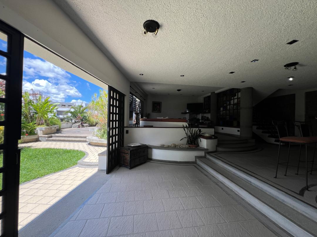
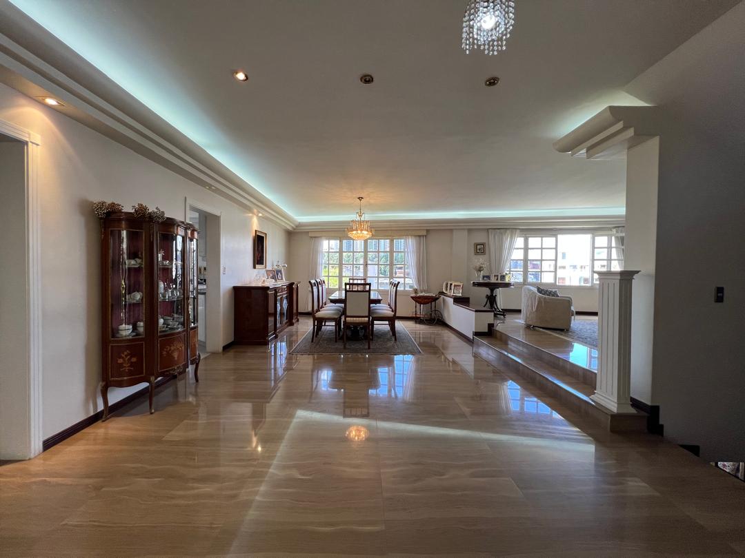
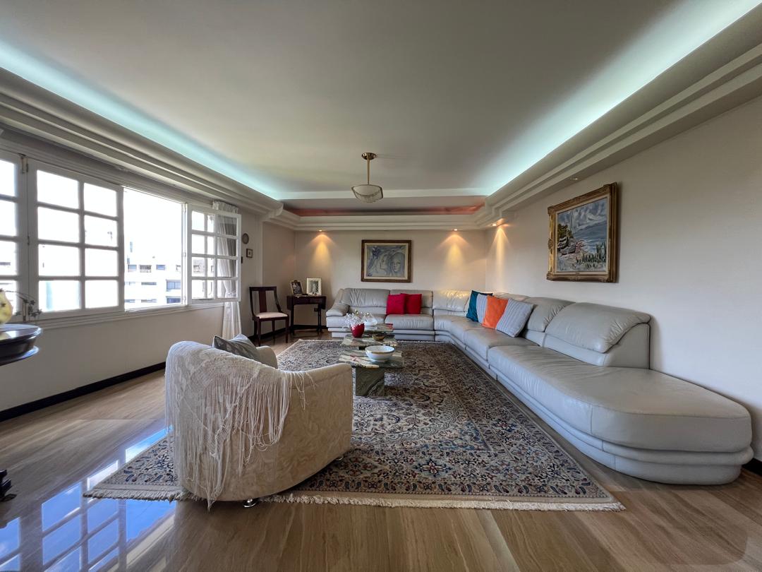
$3,500
5 bed | 5 bath | 680 m² | 4 park. | House for rent
Los Samanes, Caracas, MI
Listed by: Pedro Mejia
Abitu#10535745


$5,000
6 bed | 6 bath | 325 m² | 4 park. | House for rent
Lomas de La Lagunita, Caracas, MI
MLSCaracas#10562269


$2,800
5 bed | 5 bath | 550 m² | 4 park. | House for rent
El Hatillo, Caracas, MI
Omni MLS#VE261268861apartments for rent
891 apartments for rent, median US$1,100
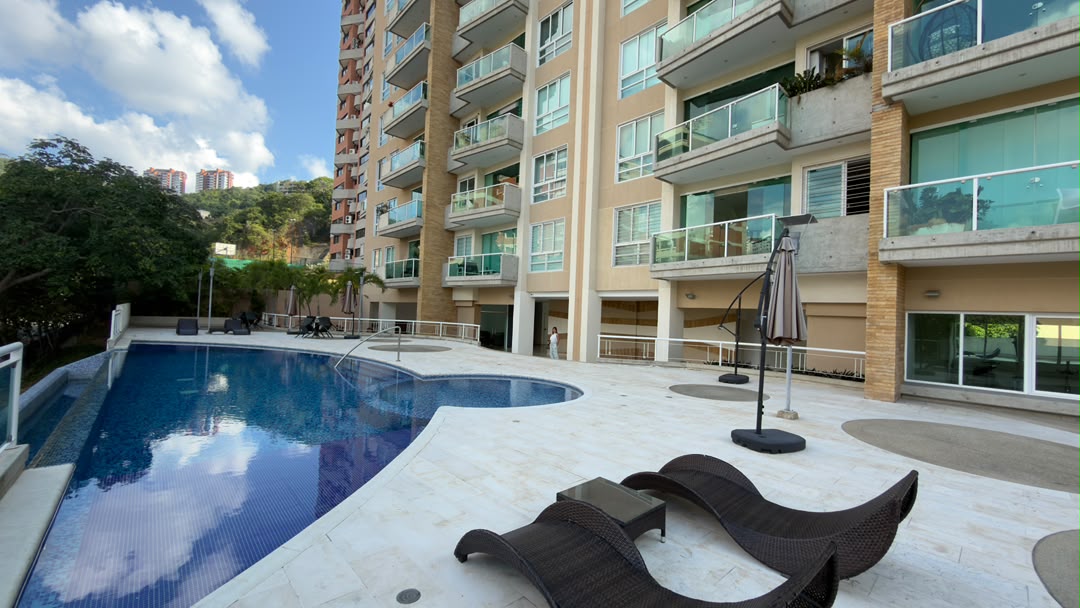
$3,800
4 bed | 2 bath | 162 m² | 3 park. | Apartment for rent
Las Mesetas, Caracas, MI
Listed by: Pedro Mejia
Abitu#10574434


$400
1 bed | 1 bath | 30 m² | 1 park. | Apartment for rent
Macaracuay, Caracas, MI
MLSCaracas#10560321


$2,900
3 bed | 4 bath | 400 m² | 3 park. | Apartment for rent
Colinas de Bello Monte, Baruta, Caracas, MI
Omni MLS#VE261269800land for sale
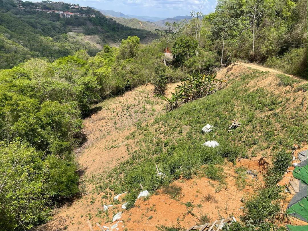
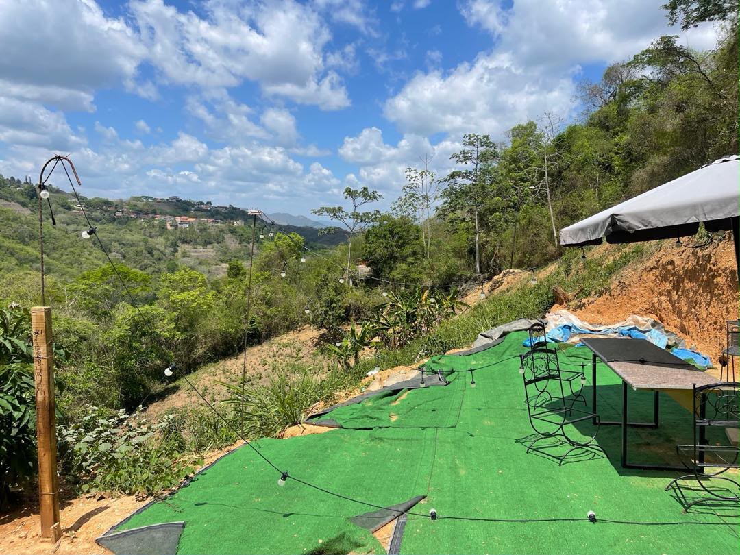
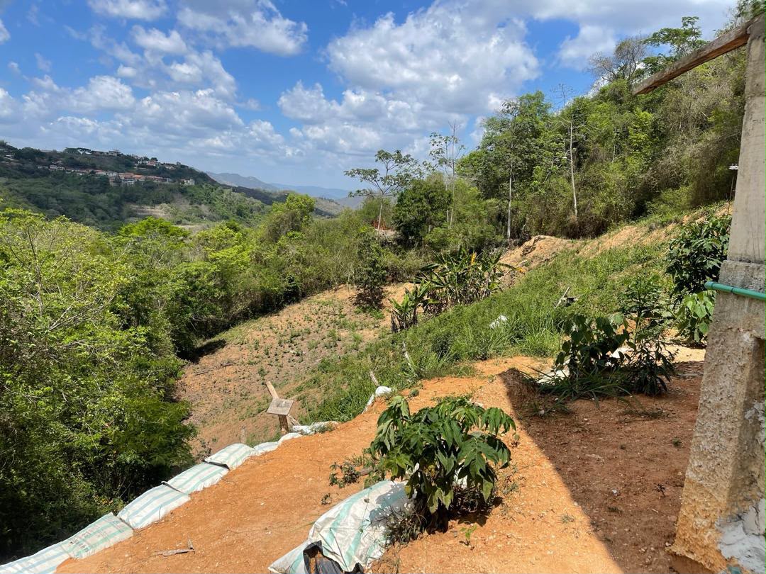
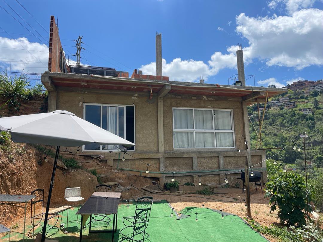
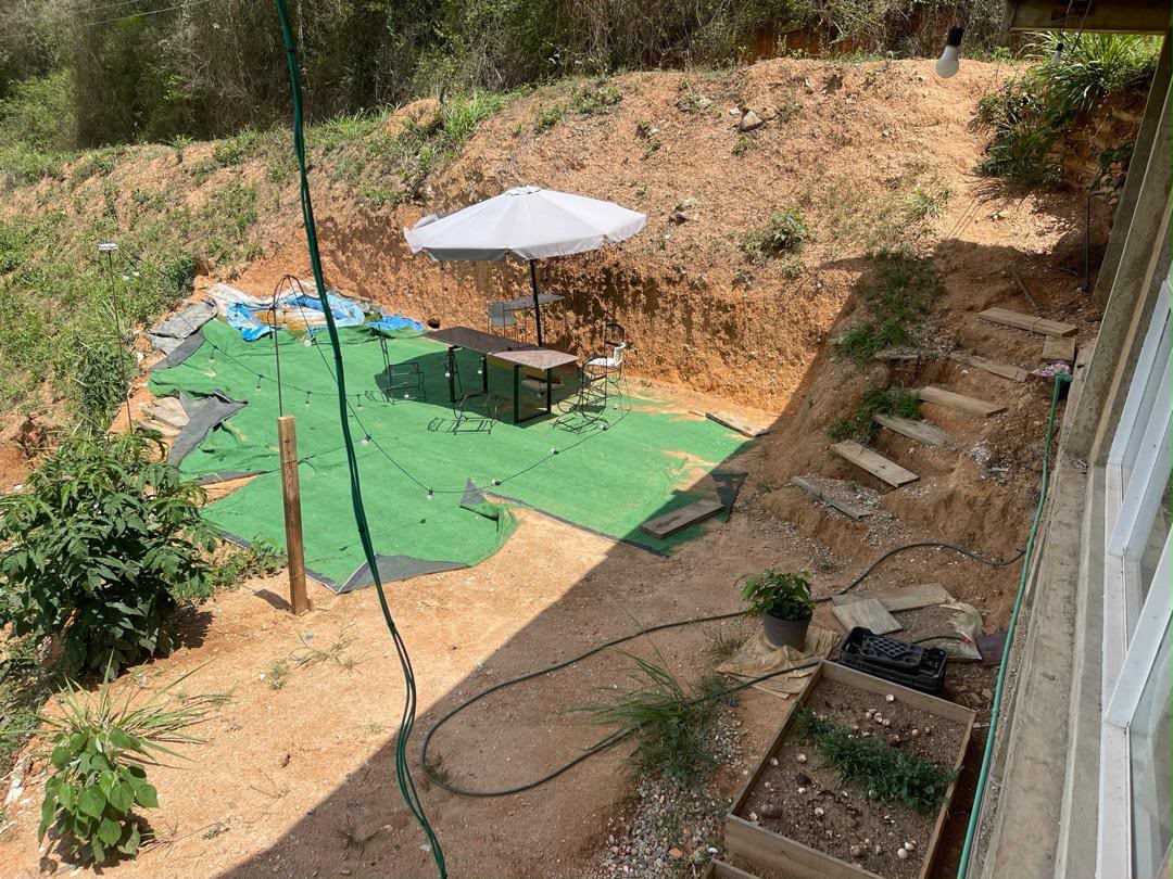
561 land for sale


townhouses for sale
36 townhouses for sale


$140,000
3 bed | 2 bath | 170 m² | 2 park. | Townhouse for sale
Corralito, EL Hatillo, Caracas, MI
Omni MLS#VE261249176


$280,000
3 bed | 4 bath | 260 m² | 3 park. | Townhouse for sale
Loma Linda, Caracas, MI
Rent-A-House#VE 27-8122


$210,000
2 bed | 3 bath | 244 m² | 3 park. | Townhouse for sale
Villa Nueva Hatillo, Caracas, MI
Rent-A-House#VE 27-7775commercial properties for sale
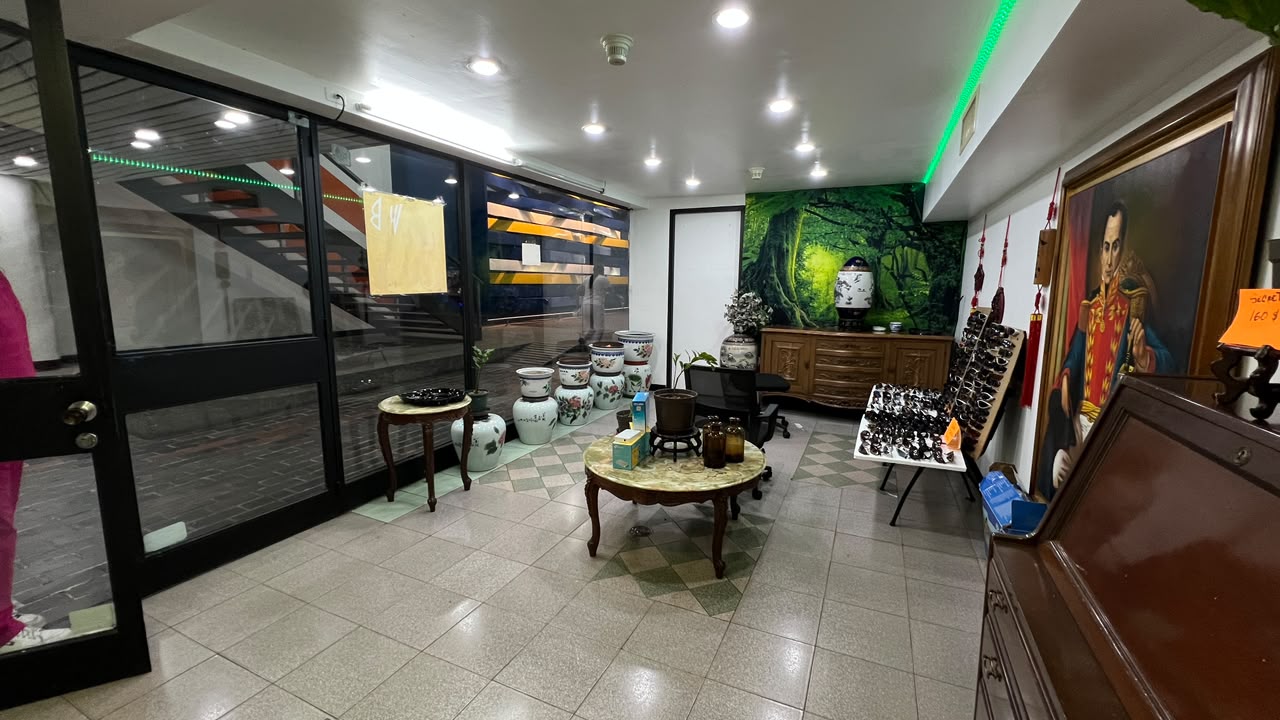
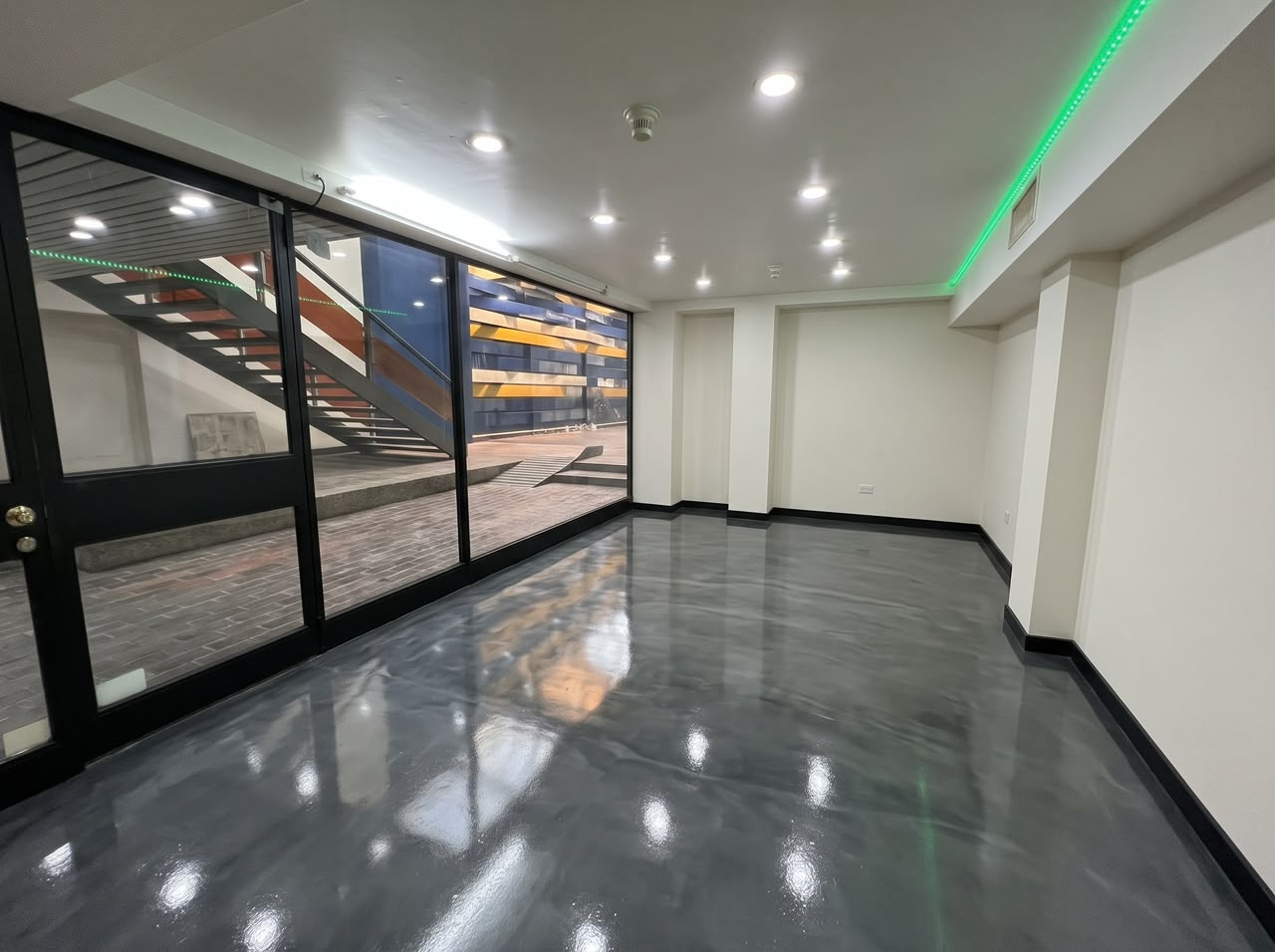
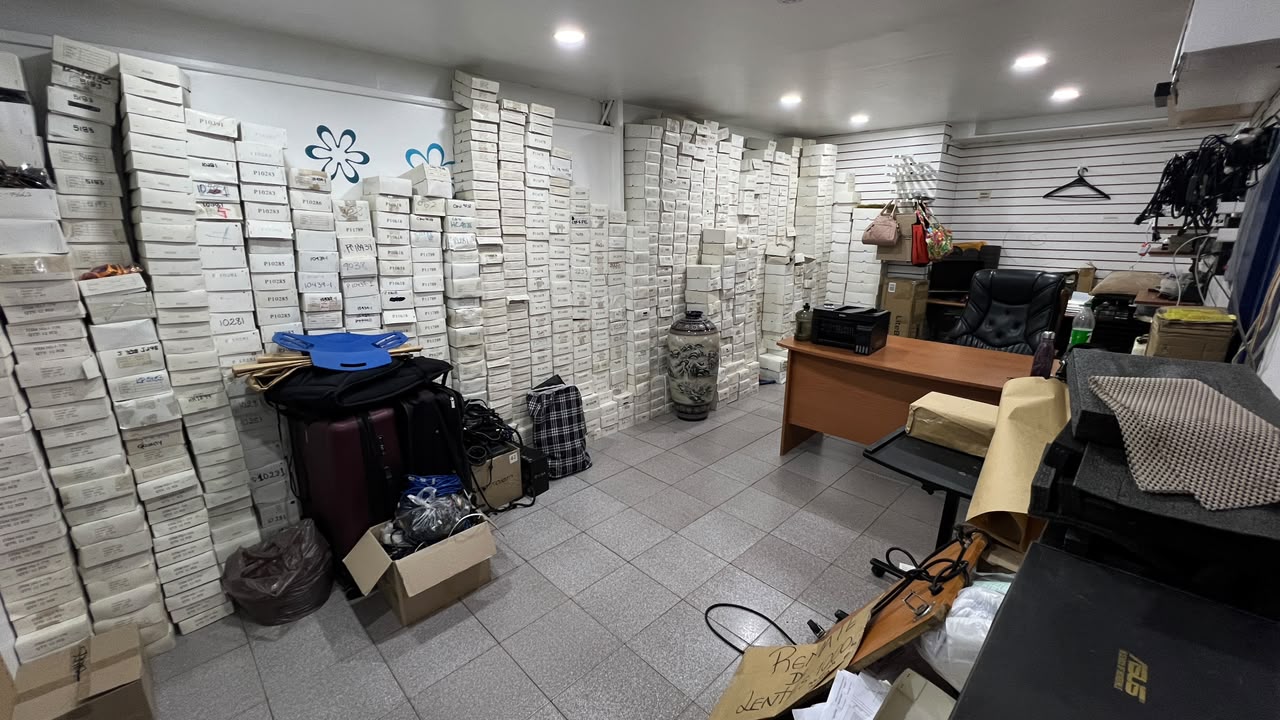
2,655 commercial properties for sale
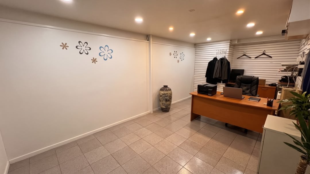
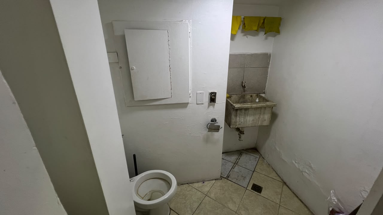
$89,000
1 bed | 51.83 m² | Commercial for sale
Prados del Este, Caracas, MI
Listed by: Pedro Mejia
Abitu#10585892


$550,000
8 bed | 8 bath | 1200 m² | 20 park. | Commercial for sale
La Florida, Caracas, DC
MLSCaracas#10558516


$60,000
2 bed | 2 bath | 1500 m² | 16 park. | Commercial for sale
Luis Hurtado Higuera, El Junquito, Caracas, DC
Omni MLS#VE261269546land for rent
21 land for rent


townhouses for rent
1 townhouses for rent


commercial properties for rent
2,211 commercial properties for rent


